
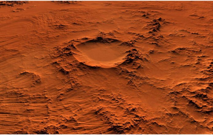
Don’t expect little green men, but hopes of finding traces of life on the Red Planet have been rekindled. New research has shown that the crater where Mars rover Perseverance is currently traveling was once filled with water.
When the lake in this Jezero crater shrank, sediments were left behind on the bottom, but also in the rivers that supplied the water. Gradually, the entire crater and the surrounding area dried up, creating a delta with specific characteristics still visible today.
Confirmation at Last
The periods during which sedimentation alternated with erosion took place over many centuries in an ever-changing environment, as is evident from radar data. This confirms the assumptions made about the history of the Jezero crater based on images from space.
“From an orbit around Earth, we can see a lot of different deposits, but we cannot say for certain whether what we are looking at is the original state, or if we are seeing the end of a long geological story,” says UCLA professor David Paige. “To really understand how these things originated, we need to look beneath the surface.”
Perseverance in Action
Living up to its name, Mars rover Perseverance has been thoroughly exploring the 30-mile wide crater floor since 2021. With no less than seven scientific instruments on board, it studies the composition of the soil, examines the atmosphere, and collects samples. These samples are due to be brought back to Earth by a future mission for investigation for traces of life.
Previously, Perseverance had ventured off the beaten path of the crater floor and visited the surrounding delta. This is an extensive area with 3 billion year old sediments that, viewed from space, resemble river deltas on Earth. One of the Mars Rover’s instruments sent radar waves to the ground every 10 centimeters to look up to 20 meters below the surface.
RIMFAX
In order to truly interpret the structure and composition of the subterranean layers with the radar, years of research was initially conducted on Earth using the so-called RIMFAX instrument (an acronym for Radar Imager for Mars’ Subsurface Experiment). The results are impressive: the underground images show rock layers that read like the cross-section of a highway. “Some geologists think the radar’s ability to look beneath the surface seems a bit like cheating,” says researcher Paige.
Insight into Mars
But who cares if it offers such a fantastic insight into the Martian soil? The radar succeeded in distinguishing between two periods of sediment deposition, with two periods of erosion in between. As the soil beneath the delta is not perfectly flat, a period of erosion likely took place before the sediment deposition. These sediments are very regular and horizontal in shape, just like the sediments in lakes on Earth. Earlier studies had suggested that there would be sediments in the lake, but only this research confirmed it.
A second period of deposition occurred when fluctuations in the water level caused the river to form a much wider delta. It once stretched far into the lake, but has become much smaller due to erosion. “The changes found in rock suggest significant shifts in the Martian environment,” says Paige. “It’s wonderful to see so much evidence of change in such a small area, enabling us to extend our findings to the whole crater.


